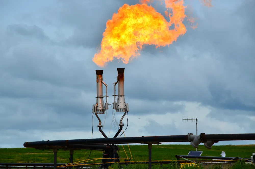
Methane (the chief component of natural gas) often leaks or is lost somewhere between where it is drilled and where we burn it. This is not only a waste of a resource, but methane is also a highly potent greenhouse gas. Methane emissions can be mitigated quickly and cost-effectively, especially in the oil and gas sector where preventing leaks often saves a valuable product that can be used or sold rather than wasted. Canada has emerged as a leader to reduce this waste but more work needs to be done, especially in Alberta.
Earlier this year, the federal government and province of Alberta established an agreement-in-principle on methane. Alberta agreed to develop a provincial approach to reducing methane emissions that generates the same outcomes as the federal government’s approach. So far, Alberta’s approach falls dramatically short. Both governments agreed to contract an independent third party to “conduct methane modelling, analysis of emissions reductions, and to assess methane reduction results.”
Good measurement data is needed
You cannot credibly conduct methane modelling without high-quality measurement and monitoring data. That’s because oil and gas methane emissions are largely self-reported and traditional estimation methods (which exclude direct measurement) significantly underestimate emissions. Measurement and monitoring technologies have a range of capabilities and appropriate use cases. Data is needed from a variety of technologies that have detection capabilities appropriate to the Alberta context – such as fixed, handheld, vehicle-based, drone-mounted, and aerial devices.
Traditional on-site surveys using handheld instruments can find small leaks but take time and can be costly. As a result, measurement methods that can screen more sites faster, such as vehicle-based systems and aircraft, are being used more and more. Follow-up surveys can then pinpoint specific sources for mitigation.
But screenings are often conducted months apart. New sources can appear and persist between measurements. Screening methods also miss emissions below their detection limit.
Satellites are less effective at detecting methane in Canada
Could satellites help fill gaps in coverage? They can measure across wide areas and revisit locations on the earth’s surface weekly or even daily. They are generally quite good at identifying large emissions events. Many satellites have the benefit of providing independent, publicly transparent data.
But it turns out satellites are more effective in some contexts than others. How much they see depends on sensor capabilities and where they are looking. When they’re looking in Canada, what they can see is limited compared with their performance in lower-latitude regions and/or extremely high-emitting regions such as the Permian basin and Turkmenistan.
Public data portals such as Carbon Mapper and the International Methane Emissions Observatory’s (IMEO’s) Eye on Methane show relatively few satellite-detected plumes for oil and gas sources in Canada. A recent study using GHGSat’s commercial satellite constellation also reported a small number of Canadian oil and gas sources from targeted observations in 2023. Yet we know from aerial and ground-based measurement that the emissions are there to find and are significantly greater in magnitude than reported volumes.
Why satellites see fewer plumes in Canada
There are several reasons for the lower frequency with which satellites detect methane plumes in Canada. Canada’s geography, weather, and land cover make it difficult for satellites to spot plumes. At Canada’s latitudes, cloud cover and the angle of the sun can limit methane detection, especially in the winter. Many oil and gas producing regions are also heavily vegetated, further reducing satellite sensitivity.
Moreover, some high-resolution satellites make targeted observations and need guidance on where to look. The Tropospheric Monitoring Instrument (TROPOMI)—which has a very high detection limit for methane (several tonnes per hour) but daily global coverage—is often used to flag areas of interest for other satellites. In general these satellites are more likely to be targeted toward other areas of interest.
The detection capabilities of satellites are also a limiting factor. Currently, the best performing methane detecting satellites can detect methane emitting at rates no lower than 100 kg/hr. That’s an extremely high emission rate (known as a “super-emitter”), which would typically only occur in cases of unrestricted venting, maintenance, catastrophic equipment failures or other operational upsets. By comparison, even high-emitting Cold Heavy Oil Production with Sand sites in Alberta emit on average 25.6 kg/hr. Methane emissions in Canada are dominated by a high number of smaller – but still significant – leaks and vents, below what commercial satellites can detect based on their current capabilities.
The equivalency process should consider measurement data from a variety of technologies
This means that in Alberta, satellites must be complementary to other measurement and monitoring tools that more reliably detect methane emissions.
As the federal and Alberta governments negotiate equivalency on methane, the process must be ground-truthed in credible measurement and monitoring data. Both governments have committed to third-party monitoring, analysis of reductions and assessment of progress. This must entail taking account of data from the full suite of measurement and monitoring technologies, potentially including but certainly not limited to satellites.